
Welcome to
The Explorer’s Passage
The World’s Greatest Adventures
-
You Are an Adventurer…
-
You Dream About Exploring Ancient Cities…
-
You Have a Passion for Protecting our Planet…
TEP is your Adventure Travel Company!
The Premier Adventure Tour Company on the Planet
As Seen In


Our Featured Adventures
Each of our adventures are unique in that they tell a Story…
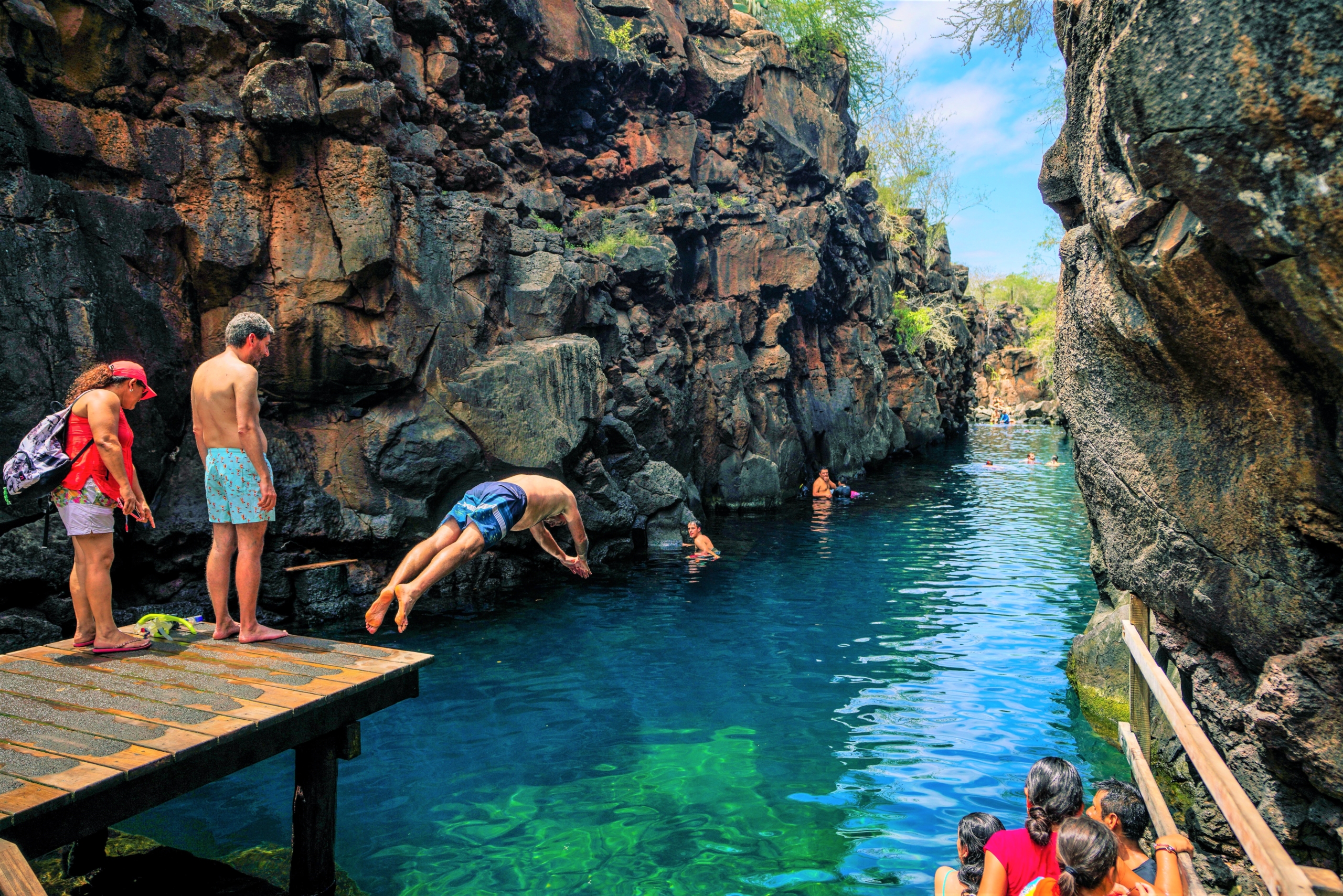
Galápagos Safari
Encounter flora and fauna seen nowhere else on Earth on islands famed for their biodiversity
Ecuador | Days: 6 | From: $5,995

Egypt
Explore pyramids, cross the Sahara Desert, cruise the Nile, and unravel ancient mysteries
Egypt | Days: 9+ | From: $2,995
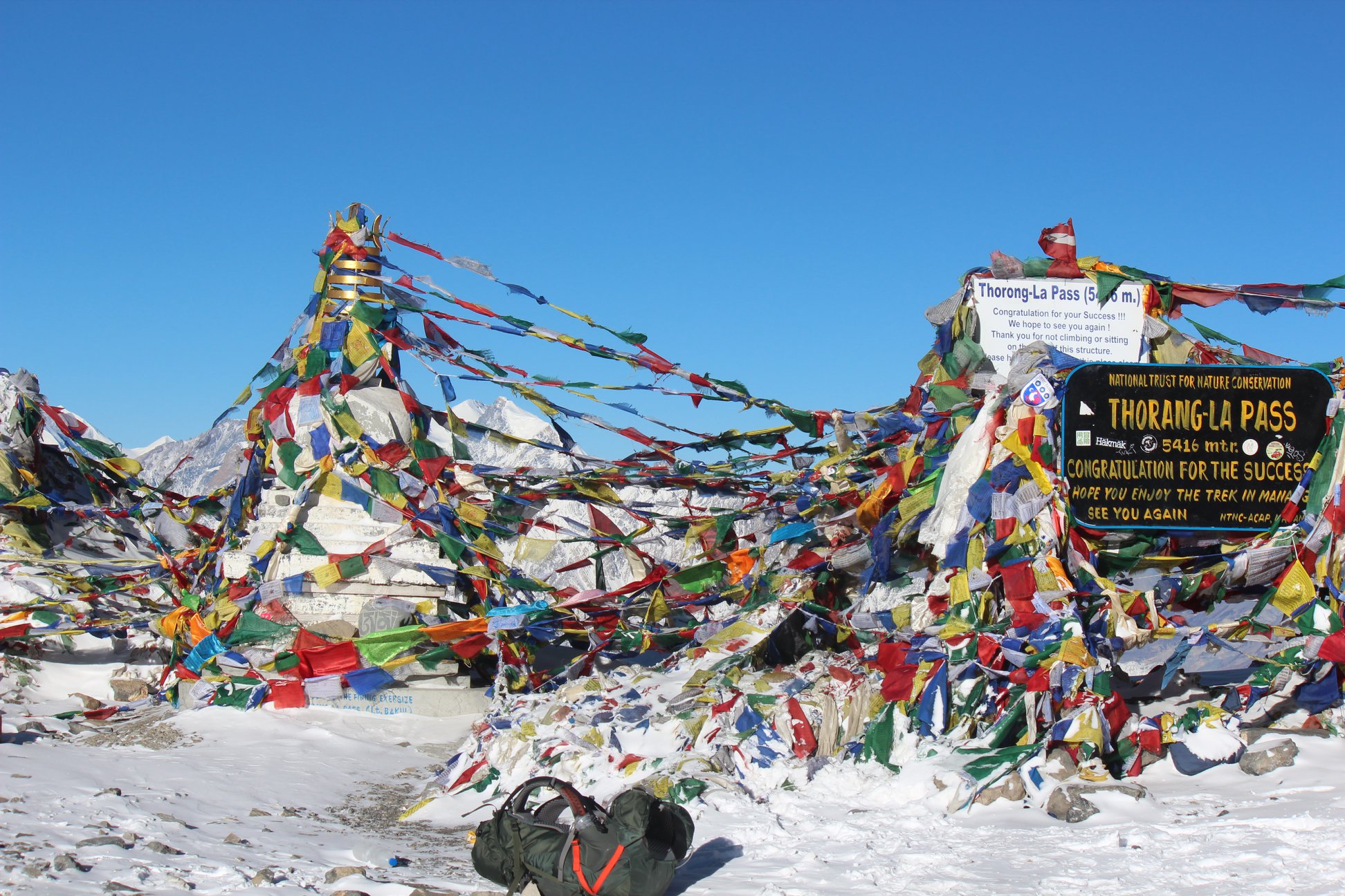
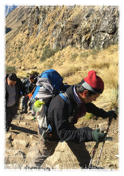
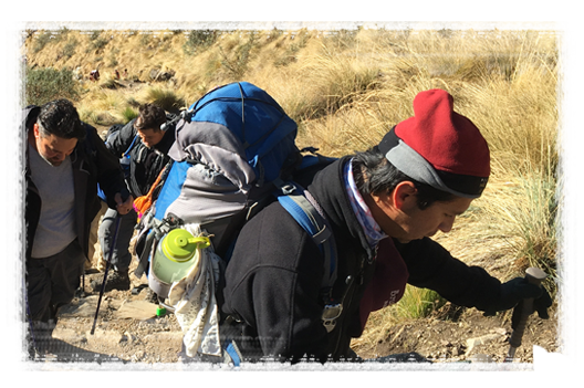
Annapurna
Follow an ancient trade route through the Himalayas on this challenging trek
Nepal | Days: 18 | From: $4,295
“Best Adventure Travel Company in the World!”
“The Most Incredible Experience of My Life!”
“I cannot recommend The Explorer’s Passage enough!”
“Unmatched customer service and an incredible travel experience I wouldn’t change for the world…”
Our Blog: The Chronicles
A collection of adventure tips, travel insights, and our latest news from the trail.![]()
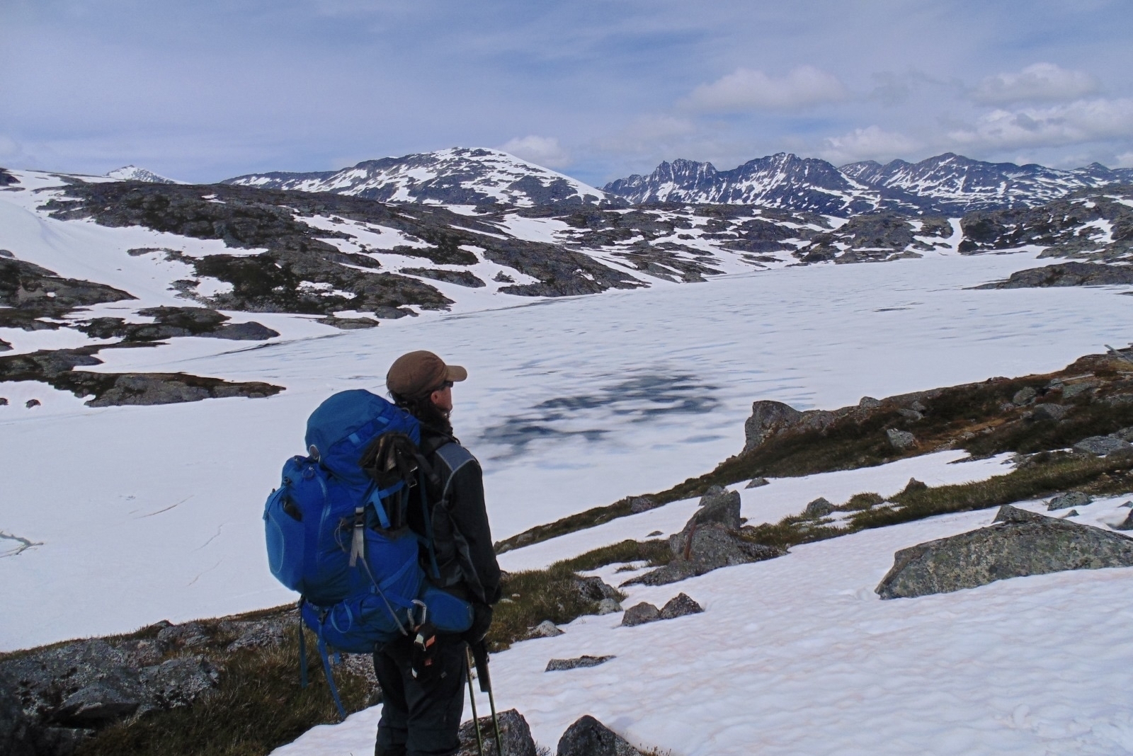
A Traveler’s Must-Read Guide to the Chilkoot Trail Hike
Prepare for you trip to the Yukon with this must-read guide to the Chilkoot Trail hike - an iconic hike in the Americas, rich in history and nature!

All You Need to Know About the Virgen del Carmen Festival in Peru
Your guide to celebrating the Virgen del Carmen Festival in Paucartambo, Peru. Learn about the exciting history of the festival, when it’s celebrated, how to get there, and more!
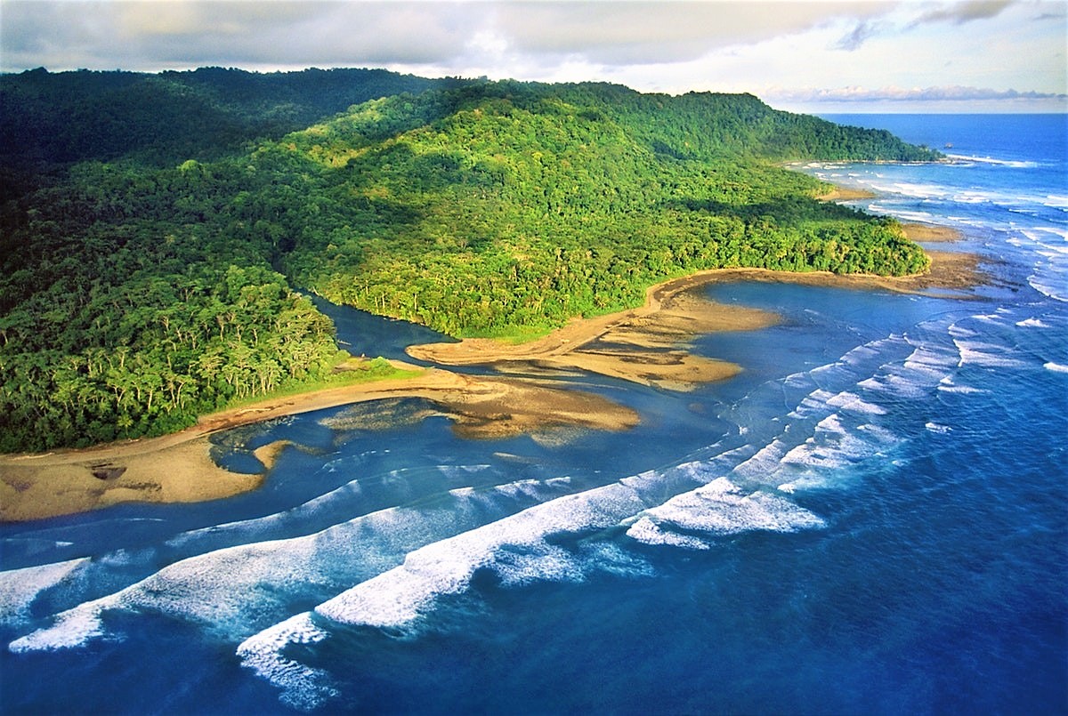
Top Attractions on the Osa Peninsula in Costa Rica
Your complete guide to visiting the Osa Peninsula - the most biologically intense place on earth. Includes expert tips for planning your Costa Rica trip and the best things to do while there.