13 Adventure Navigation Tips
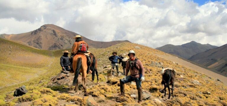
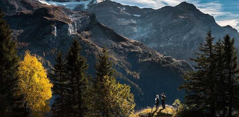
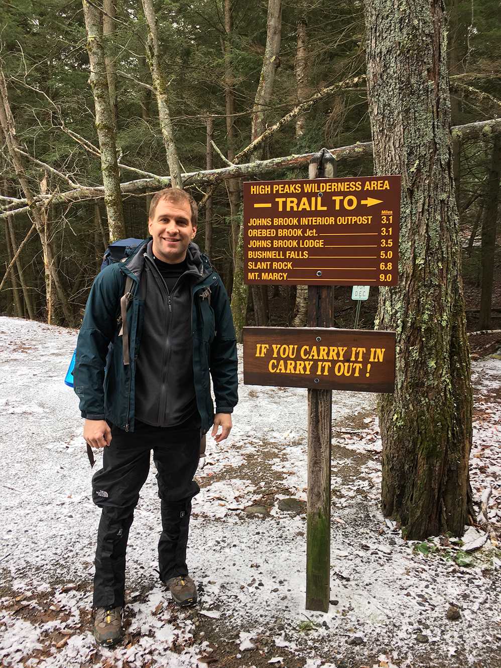
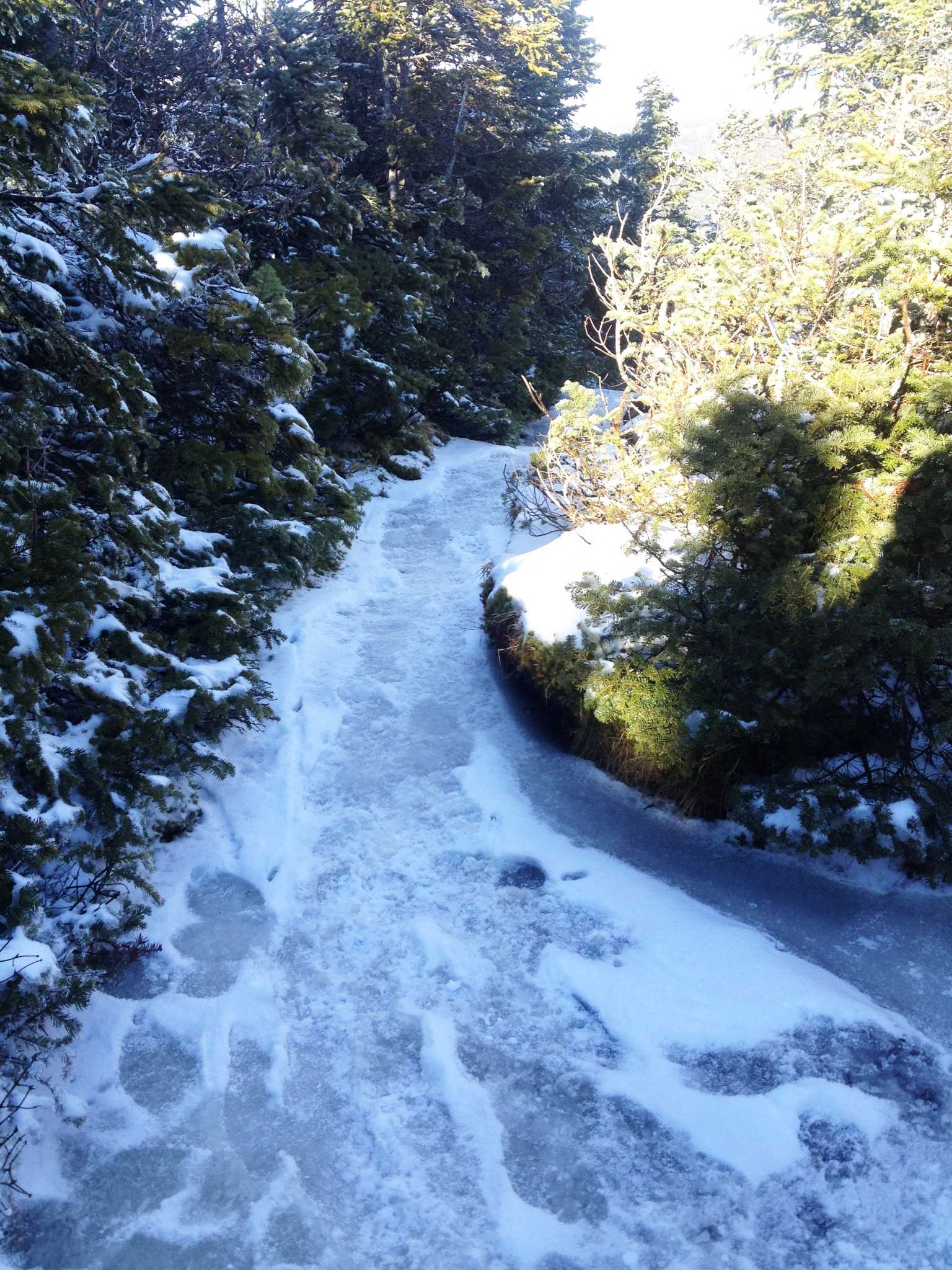
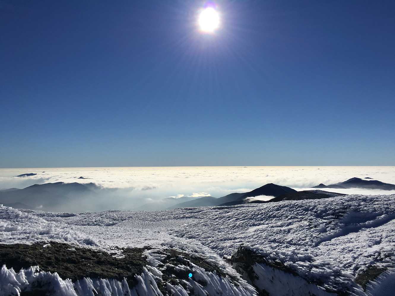
In 2015, I was in the Adirondack Mountains hiking near Lake Placid. My buddies and I were doing a winter ascent up Mount Marcy, the highest peak in New York State. The plan was to spread the 18-mile (29-kilometer) round trip climb over 3 days and camp 2 nights in the wilderness. The upper reaches of the mountain were covered in snow so it was difficult at times to tell where the trail led. Fortunately, we all had a fair amount of experience and were able to successfully reach the summit.
If you ever have had difficulty in finding your way in the mountains, you know it can be scary. Whenever I head into the wilderness I follow the set of 13 Adventure Navigation Tips listed below to help me navigate and stay on course.
1. Trail Markers
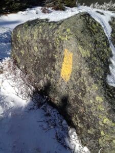
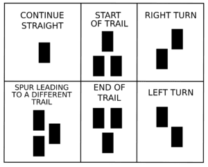
If you are hiking on a well-established trail it is highly likely that there will be trail markers or trail blazes along the way. The markers show not only where you are but provide an indication of where you should go. Sometimes the markers are nailed or carved into trees and other times they are painted on large boulders.
Trail markers are typically placed 500 to 1,000 feet (152 to 305 meters) apart. If you have hiked more than ¼ mile (0.08 meter) without seeing a new marker, this could mean you have veered off the trail and you should probably turn back. Also, trail markers tend to be in different colors related to a specific trail. You can determine which trail you are on simply by comparing the trail color to the legend on your map.
Finally, trail markers can also provide direction to which way you want to go when you reach a crossroads. For example, a trail marker containing two trail blazes with one raised upward to the right indicates that you should bear right.
The image below provides a good overview of the trail markers you should expect to see on the trail:
Personal Note: Our route on the Mount Marcy hike followed the Phelps Trail to the Hopkins Trail and finally the Van Hoevenberg Trail to the summit. Apart from the last ½ mile (0.15 meter) the trails on this route all had markers. You will find that many of the trails in the Adirondacks are well marked.
2. Trail Signs
On many trails you will see signs along the way that tell you not only which way to go but also the distance to the desired destination. Hiking trail signs are usually located at crossroads where there is more than one route to take. A trail sign is typically wooden and either freestanding on poles or pegged to trees. I always enjoy when I see trail signs in the mountains because it reassures me that I am on the correct path! I also find it interesting to learn of the various sites and detours that I can explore on an adventure.
3. Maps
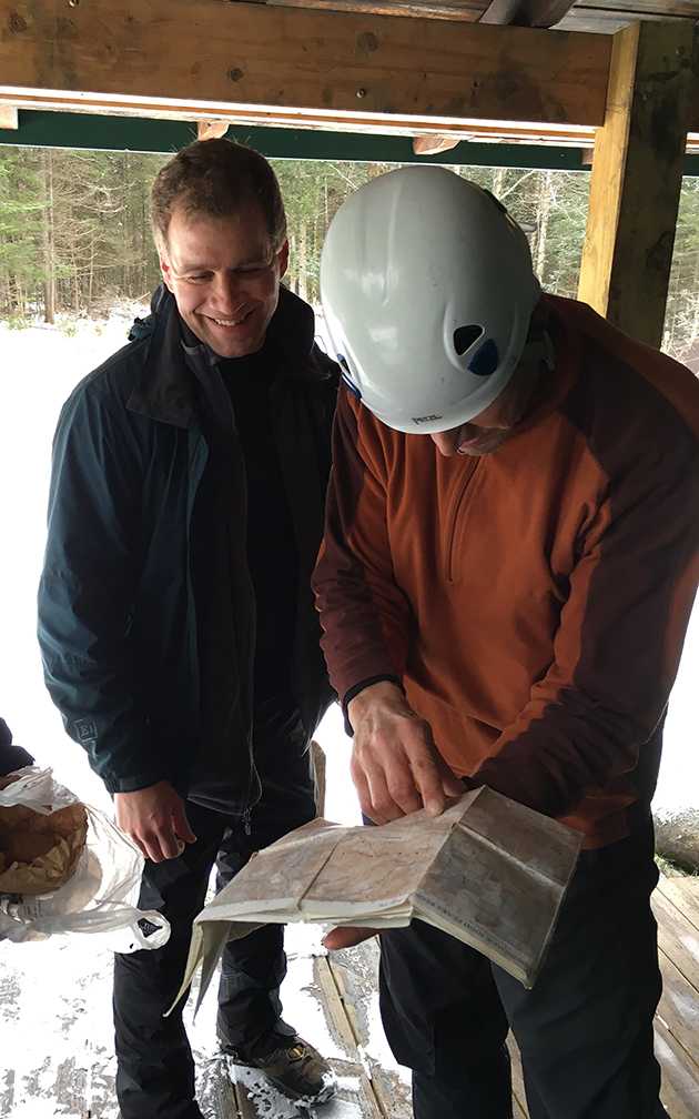
Even when hiking on trails that are well marked, there are times where you still need reassurance of your exact location. A hiking trail map can be very helpful with this. Maps can show major natural landmarks such as rivers, mountains ridges, hazardous areas, and even man-made points of interest such as lodges and lean-tos. You can typically find them at your local outdoor adventure store. National Geographic makes excellent maps and has been doing so since 1915.
Many regional hiking and outdoor clubs such as the Appalachian Mountain Club (AMC) and the New Jersey–New York Trail Conference also produce hiking maps. If you are looking for very specific, less-known trails in an area, there is a good chance that local or regional outdoor clubs will have the hiking map that is perfect for your trip.
Personal Note: While some hiking trail maps are printed on regular paper others are made from waterproof materials, that can be beneficial to have if you expect weather to be less than ideal on your outdoor adventure.
4. Compass
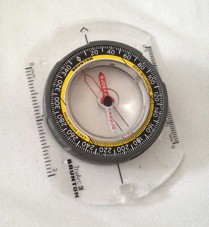
I never head into the mountains without a compass. Anyone who participates in outdoor adventures should learn the valuable skill of how to use one. First employed for navigation during the Chinese dynasties of the 11th century, they were later used by ocean explorers in the 14th century. A compass can be used alone or with a map and provides you with directions to the north, south, east, and west relative to your position. One of the more popular compasses is a magnetic compass. The magnetic compass works by pointing to the magnetic North Pole. The magnet in the magnetic compass interacts with the Earth’s magnetic field, causing it to stay in directional alignment with the planet. It is a powerful tool for any adventurer, and can help you find your way in the mountains or pretty much anywhere.
5. Cairns
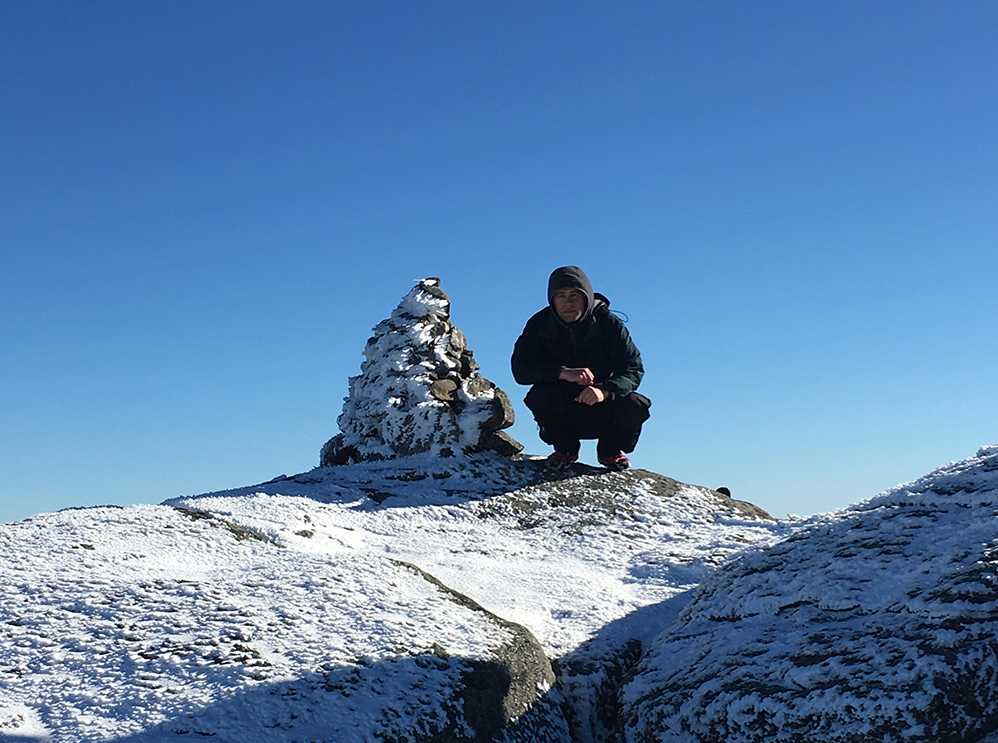
Although I have been hiking for years, I still get very excited when I come across cairns on the trail. A cairn is a pile or stack of stones utilized as a marker on trails all over the world. They are the oldest known form of a trail marker and date back over 11,000 years when pre-historic humans first used them to find their way.
Sometimes you will see rock cairns on entire trails, and other times they will be just on certain sections. Either way, a trail cairn is an extremely helpful navigational tool.
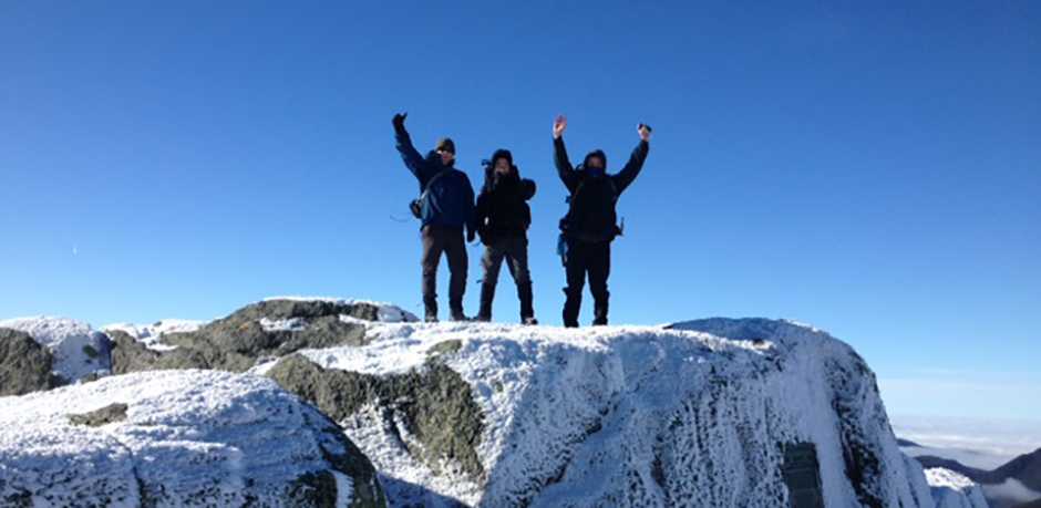
Personal Note: As we neared the summit of Mt Marcy high above the tree line, we could no longer see any traditional trail markers. Luckily, a series of stone cairns appeared that we followed directing us to the summit.
6. Smart Phone
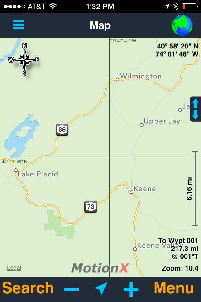
With the advancement in technology, there are a number of devices that can help you navigate in the mountains. Many smart phones have GPS navigation imbedded in them. Even if you do not have a cellular signal, you can still use the GPS feature on your smart phone to track your hike. Also, for many popular hikes, you can actually get electronic trail maps that sync with your GPS navigation on your phone. Just download and follow the trail map on your device and it will help take you to your desired location.
Personal Note: For GPS navigation on my iPhone, I use a great app called MotionX GPS. In addition to tracking my adventures it also allows me to download trail maps to help me navigate.
7. GPS Device
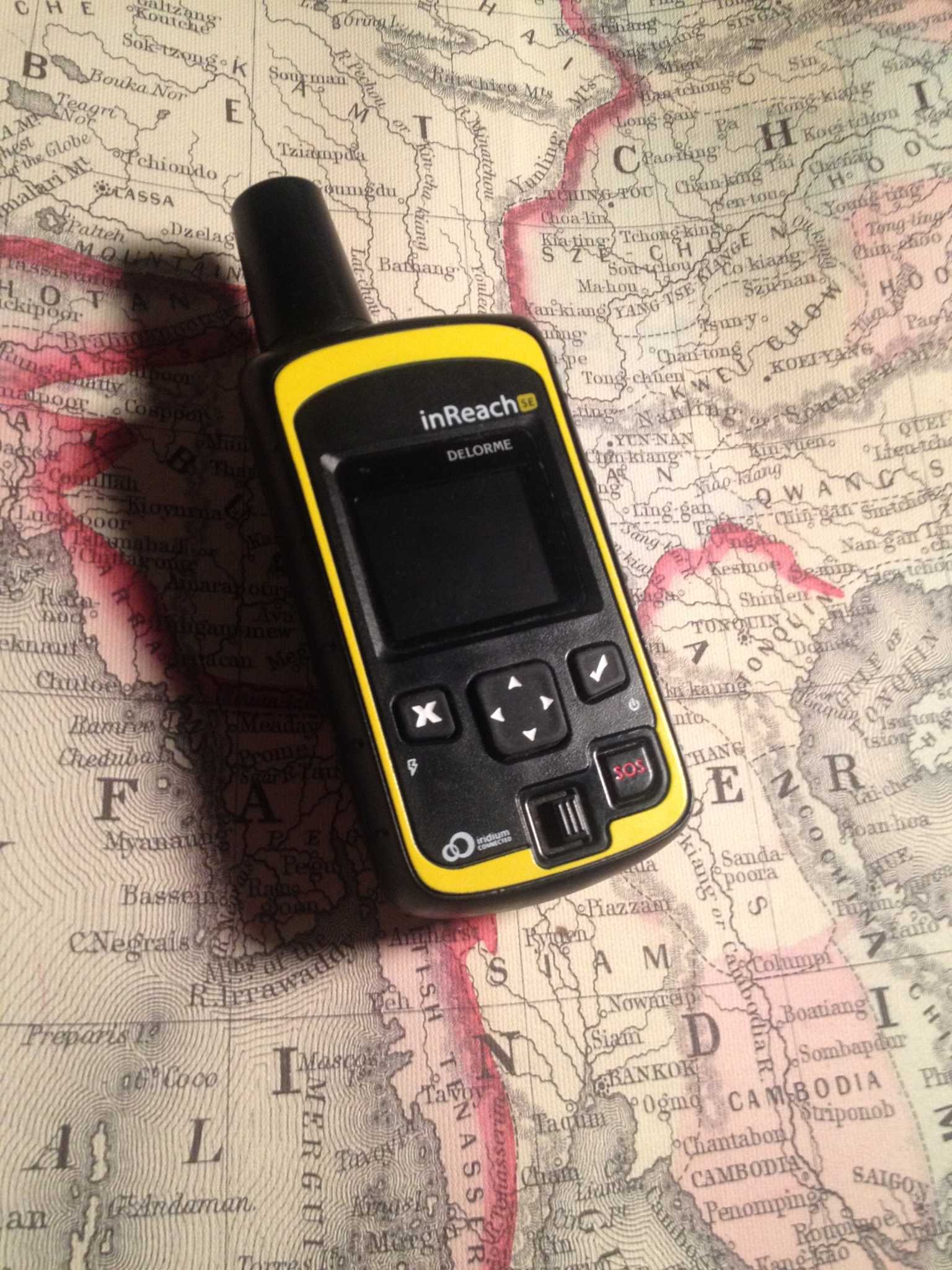
If you plan to hike in remote locations, wish to track your hike, and would like to maintain communication with the outside world, a satellite device might be the right choice for you. One device that I never leave home without is my DeLorme Satellite Communicator. It helps me with navigation so I can set waypoints along a route, and I can also download maps to better track my adventure.
I can also send messages to friends and family from pretty much anywhere in the world. In addition, if you ever get yourself in trouble it has an SOS button that communicates directly to a 24/7, global search and rescue monitoring center.
Personal Note: Utilizing the GPS navigation features on GPS devices & Smartphones can really drain your battery. So it is important to bring a back-up power pack and/or solar charger on your outdoor adventure.
8. Willow Wands

Used commonly on high altitude mountaineering expeditions, willow wands are long rods with brightly colored small flags on the end that climbers use to help track their route in snow and low-visibility weather. Climbers typically stick them into the snow as they approach a summit. When descending, they can safely follow the wands back to a well-marked trail. These wands can be used as trail markers for all mountain adventures where snow may be present, and when cairns would be difficult to locate.
Personal Note: While hiking Mount Marcy, we placed willow wands in the snow on our approach to the summit. Even though the skies were clear, it is always better to plan for the worst.
9. Footprints
If weather conditions are poor with low visibility or the ground is covered with snow or mud, it can be helpful to follow other hiker’s footprints. Not only with this make your hike easier by walking on harder snow or ground but also it can help keep you on your trail and direct you to safety.
Personal note: I would try to use this method of navigation in combination with others if possible as you will be assuming that the footprints of the people you are following are heading the correct way to the trailhead. Just don’t mistake bear or bobcat footprints for human ones!!
10. Natural Landmarks
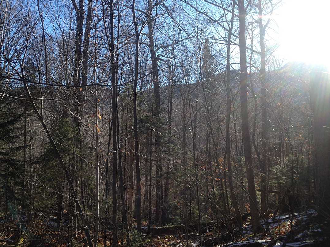
Often times, you will encounter natural landmarks in the mountains such as ridges, valleys, and rivers. If you have an accurate map with you, you can line these up to help you navigate on the trail. If you do not have a map, you can use these landmarks as reference points to follow to your desired destination. Also, many trails are established along rivers or waterways where water is easily accessible and easy to follow.
Personal Note: On Mt Marcy, for a good portion of the trail up to the summit, we hiked parallel with a river and in view of a mountain ridge up through the trees. On our way back to the trailhead, we were able to follow these same landmarks that helped reassure us that we were going the correct way.
11. Sun
The sun rises in the east and sets in the west. This knowledge can help you find your general position and tell you which direction you will need to head. In the Northern Hemisphere at 12 PM, the sun will be positioned to the south of you. If you are in the mountains at this time, this is valuable information. Try to line up the direction of the Sun with a nearby landmark to establish your location.
Personal Note: I suggest you stay in the general area for an additional hour after you have first established your position and note how the Sun has moved in relation to the landmark. This will really help you nail down your directional points, as well as, help you find your way in the mountains.
12. Stars
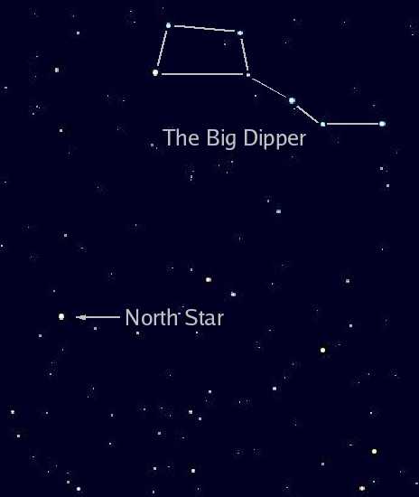
What if you are hiking mountains at night and become lost? What do you do? Do what sailors and explorers did for many centuries and follow the stars to safety! If you can learn to use the map in the sky for navigation, it can be an incredibly powerful and effective way to find your way in the mountains. Also, it is surprisingly a lot easier than you would think to develop this skill. The Big Dipper is a great place to start and typically easy to see when in the mountains. The are seven stars in the Big Dipper and looks similar to a ladle or wagon. At 8 PM, it is roughly straight above you. Once you locate it, you will be able to find Polaris, or the North Star, as it points directly to it. Now you have your directional points set and can navigate solely from the sky.
This highlights the importance of adapting navigation techniques to changing conditions. As weather shifts or trail conditions evolve, one should remain flexible with navigation methods. If the visibility drops due to fog, snow, or heavy rain, relying on alternative methods like cairns, GPS, or natural landmarks becomes even more essential. It’s crucial to reassess and adapt your navigation strategy, rather than blindly following a single method, to ensure safety and efficiency throughout the adventure.
13. Nature

What would you do if you were in the mountains with no navigational tools? Fortunately, Mother Nature can graciously provide you with a few important clues to help find your way.
On our Adirondack Mountains hiking adventure, we utilized many of these 13 tips to help get us to the summit and safely back to the trailhead. Mount Marcy weather can be unpredictable and having these resources proved to be invaluable to us. Knowledge on navigation can not only provide more enjoyment but can also help you find your way in the mountains.
If you would like to learn more about our adventures click HERE or if you have a tip on navigation in the mountains we would love to hear about it just shoot us an email at info@explorerspassage.com.
I look forward to seeing you on the trail.
Cheers,
Jeff
Jeff Bonaldi
Founder & CEO
The Explorer’s Passage
About Jeff Bonaldi
Jeff Bonaldi is the Founder and CEO of The Explorer’s Passage, a premier adventure travel company. His mission is to provide travelers with the opportunity to transform their lives and the planet through the power of adventure.
Learn more about Jeff’s story and his company HERE.
Share this post!